01PREPARE
Choose your patrol area and go.
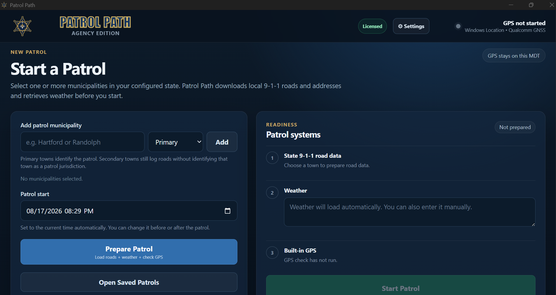
PatrolPath loads the supported road data for the selected state and patrol area, current weather, and the local patrol workspace before you head out.
PatrolPath keeps track of roads traveled, weather, and activity timestamps on a Windows MDT—then turns the shift into a patrol narrative you can actually use.
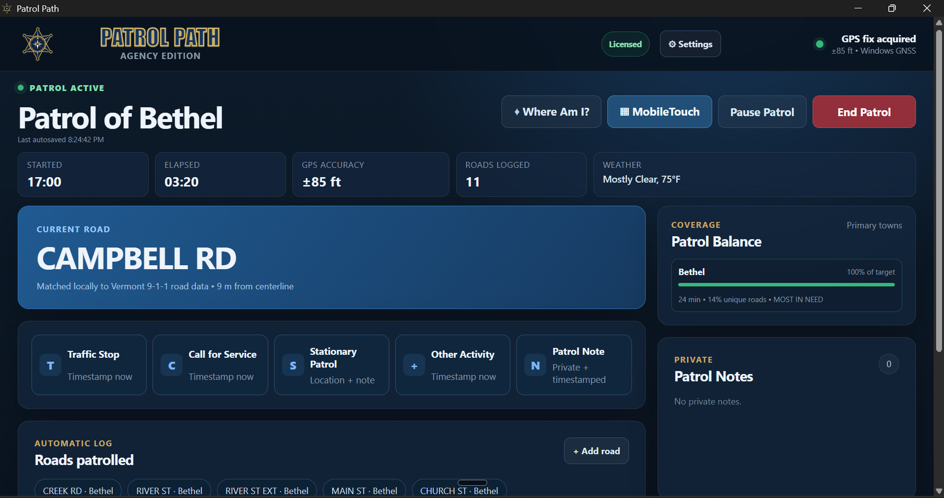
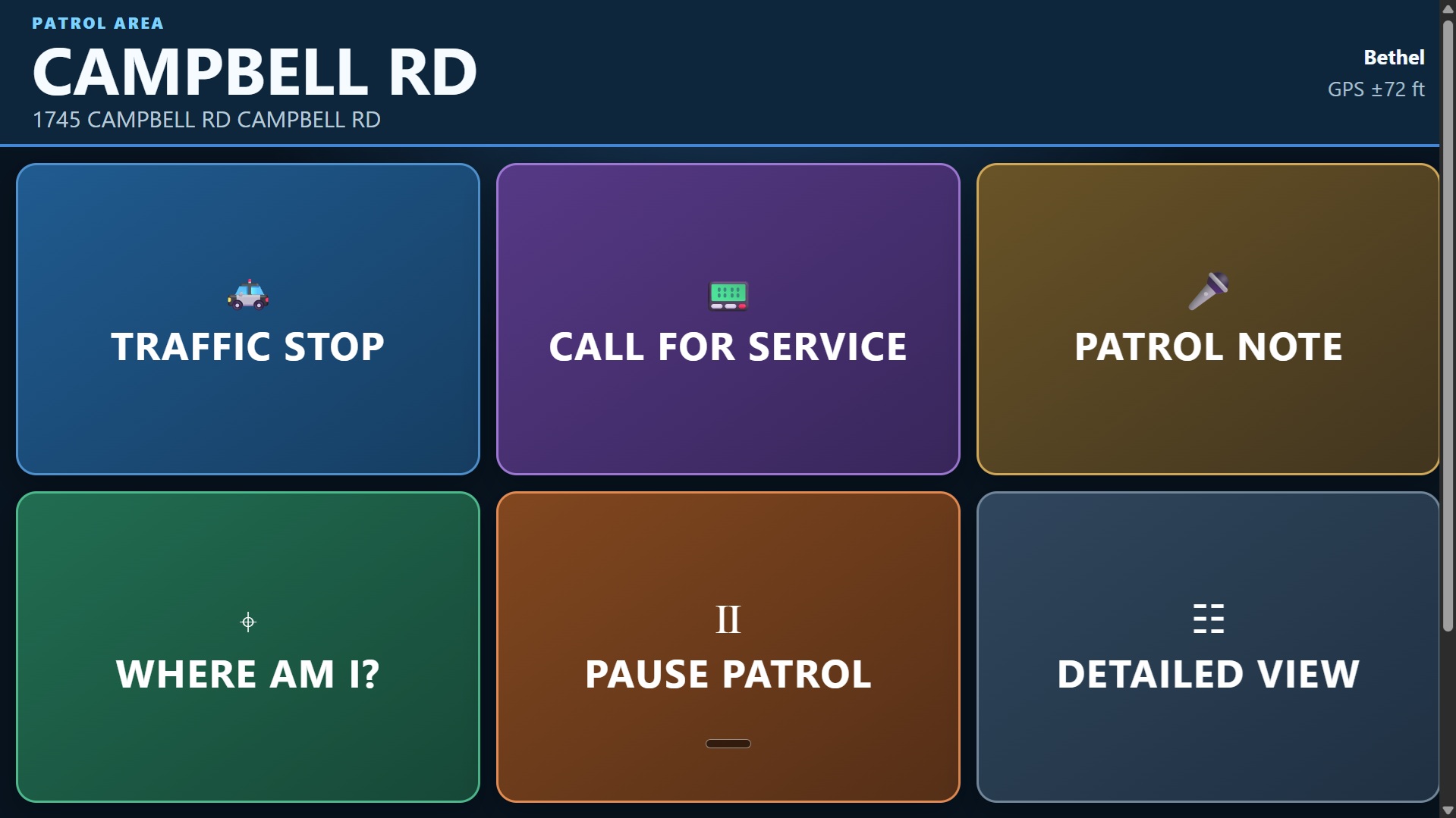
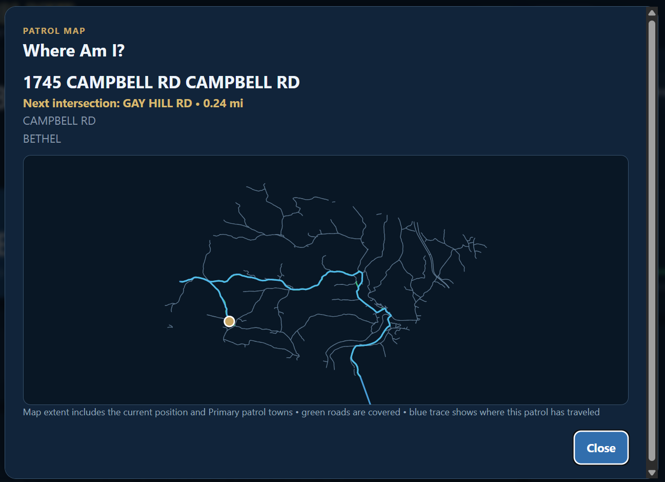
These are current PatrolPath screens—not concepts or stock images. The interface moves from setup to active patrol, then simplifies into a touch-first view when you need fewer distractions.
Which roads did you cover? When did that stop happen? What was the weather at the start? Those are easy questions at 1900 and annoying questions four hours later.
PatrolPath is a small field tool for that exact problem. It quietly records the pieces that can be automated and leaves the deputy in control of the final report.
See the complete patrol workflow →PatrolPath loads the supported road data for the selected state and patrol area, current weather, and the local patrol workspace before you head out.
Stable GPS samples are matched against local road centerlines so the roads you cover build themselves while you drive.
Mark traffic stops, calls for service, and other activity when they happen. Finish the detail once the driving is done.
Correct the patrol, finish event details, and copy a CAD-ready narrative or save it as a plain-text file.
PatrolPath does not need credentials to your CAD or RMS. Review the generated narrative, copy it to the clipboard, and paste it where your agency already works.
Conducted patrol within the assigned area. Roads patrolled included Main Street, River Road, County Road, and additional local roads.
Activity included 3 traffic stops and 2 calls for service. Patrol activity and road list reviewed prior to closeout.
The license service verifies authorized installations. It is not a patrol-data service, location tracker, or CAD integration.
Agency release · Windows x64
PatrolPath 2.4.5PatrolPath-Setup-2.4.5.exe
Fixes to date/timeThe Download page always reflects the latest package published by PatrolPath administration.
Start with the five-day evaluation, validate GPS and road matching on your own patrol area, then request an agency key if it fits the job.